
YOU ARE HERE: A VANISHED HARBOUR AND TWO BRIDGES
Strolling Through Vanished Berlin

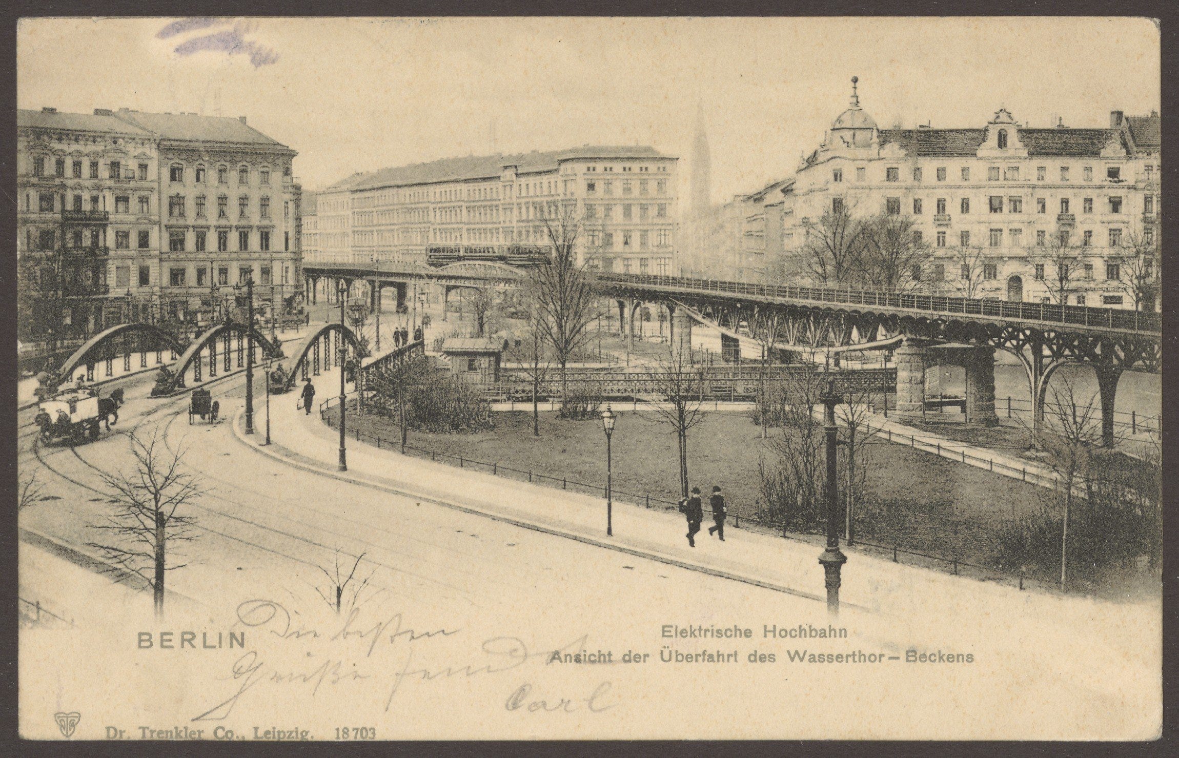
How cities can change! Here's today's Wassertorplatz in Berlin-Kreuzberg (view NW towards Wassertorstraße and the spire of Sankt Simeon Kirche) with the then almost brand-new Hochbahn (elevated railway) viaduct cutting through it between Skalitzer Straße (right) and Gitschiner Straße (left).
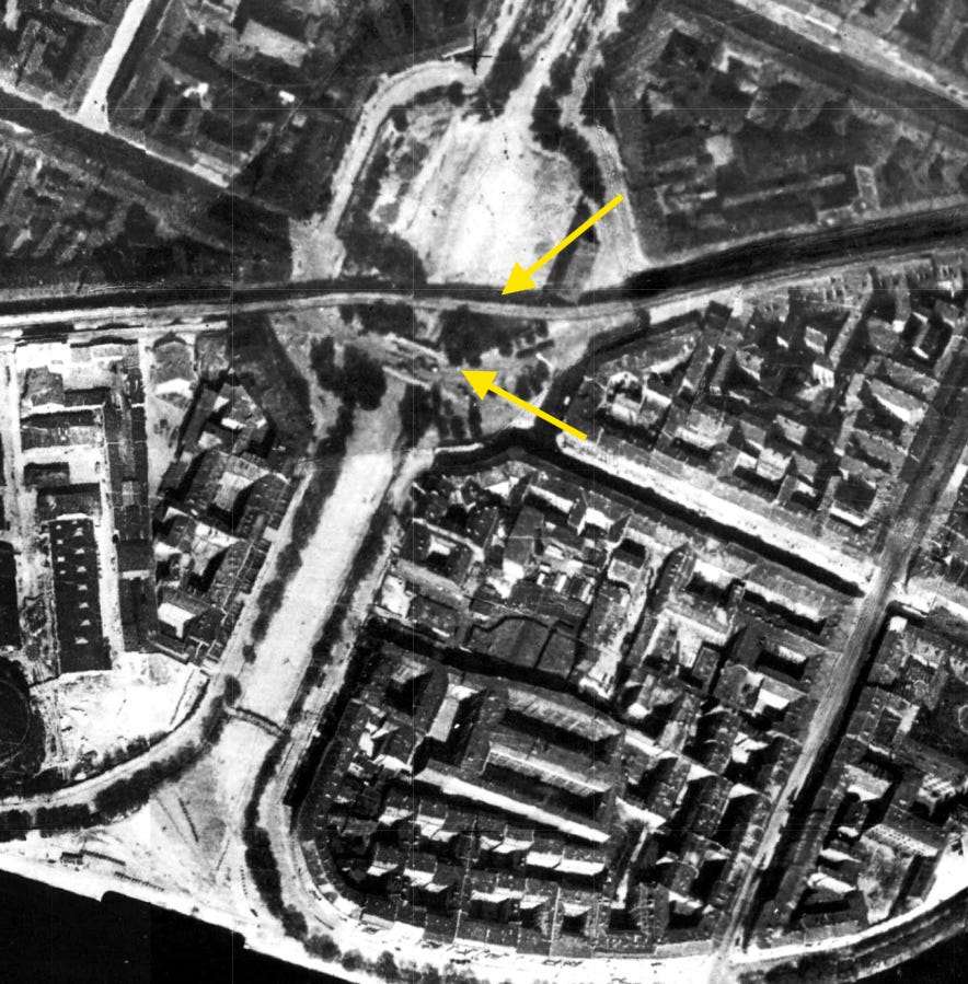
There was a reason the place needed two bridges: the water basin behind the viaduct was an inner-city harbour built along the no longer existing Luisenstädtische Kanal. The canal stretched between today's Urbanhafen and the river Spree.
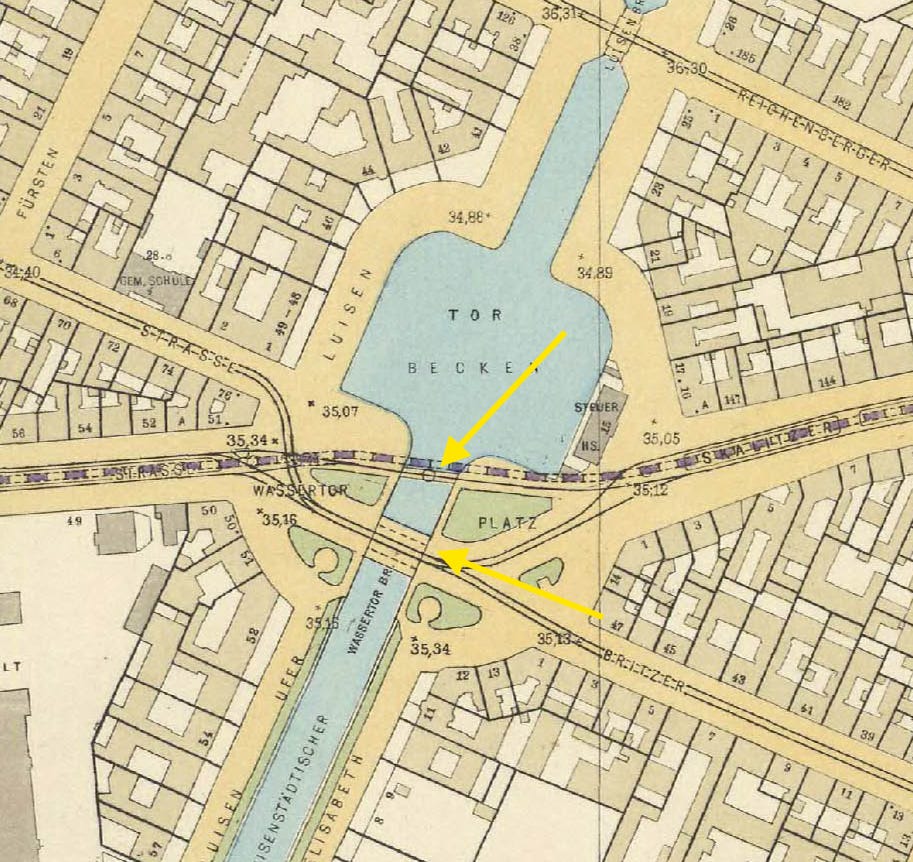
To construct the Hochbahn line the Hoch- und Untergrundbahn Gesellschaft (a company in charge of the project) had to traverse the basin - hence the steel viaduct.
The rest of the traffic - traffic on the ground level - meaning horse-drawn omnibuses, carts, pedestrians, used the other crossing built along a curve.
What you don't see in this photo are trains - goods trains delivering coal to the gasworks further down Gitschiner Straße. They used these tracks until approximately mid-1920s and were the reason why local residents felt compelled to lodge furious complaints with Berlin police - their noise kept them awake at night, woke up their small children and the soot turned their balconies and living rooms grey.
And here is the view of today's Wassertorplatz in 1901 (finishing touches being added to the new elevated railway line) and this time looking in the opposite direction: E/N-E and down Skalitzer Straße:
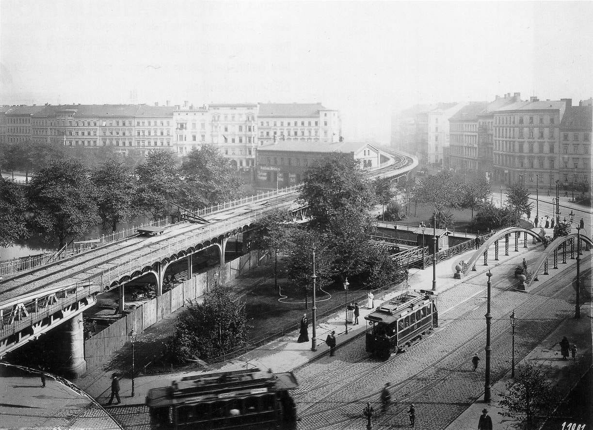
Miraculously, the houses on the left - in what was then Elisabeth Ufer and is known as Erkelenzdamm today - still exist and in an almost mint condition.
Their demolition, required for the planned Südtangente - a new motorway - could be prevented and the motorway was never built...
To learn more about the vanished Wassertor and the canal, you might enjoy my audio-walk available via VoiceMap app or website - explore Berlin at your own pace:-)